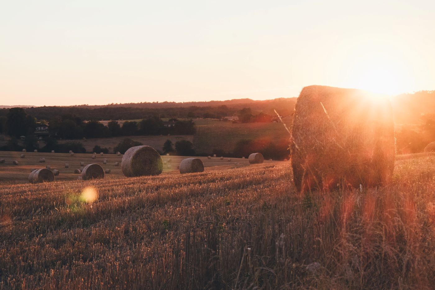
Places that make us feel tranquil take us away from the stresses and strains of everyday life and help us to relax — but they face a multitude of threats and are shrinking in size. We have developed a new method of mapping tranquil areas which builds on our previous work. This methodology takes into account people's experiences of the countryside and what qualities contribute to a feeling of tranquillity. It also looks at what factors detract from tranquillity — people, landscape and noise are key themes. The resulting tranquillity maps can be used as an important indicator in helping to protect the the countryside. This report explains the research undertaken in the north east of England to develop the new methodology and mapping techniques in two pilot study areas: Northumberland National Park and the West Durham Coalfield.
Mapping Tranquillity
Defining and assessing a valuable resource
- Document type: Report
- Author: Campaign to Protect Rural England
- Format: A4, 56pp
- Publication date: March 2005
- Mapping Tranquillity